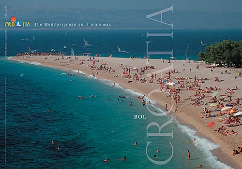
Croatian Islands
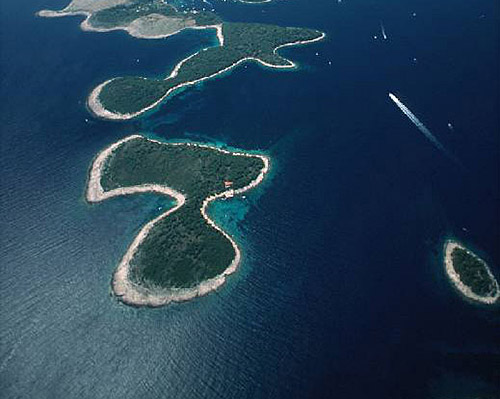
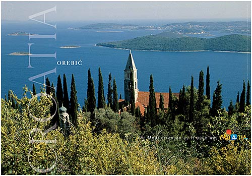
Škoji - The Croatian Islands
Struga Lighthouse Croatia
Struga Lighthouse Info
Struga Lighthouse is situated in Skrivena Luka, Lastovo Island. It was built in 1839 by Austro Hungarian Empire. The height of the lighthouse tower is 23.0 meters (75.0 feet). The focal height is 10.0 meters (33.0 feet). The nominal range of the main light is 27.0 nautical miles (50.0 kilometers).Struga Lighthouse GPS coordinates
GPS location coordinates: 42°43'26.8"N 16°53'4.9"EOther lighthouses in vicinity of Struga Lighthouse:
- Glavat Lighthouse in Islet Glavat near Lastovo is 13.55 miles away.
- Susac Lighthouse in Susac Islet near Lastovo is 20.10 miles away.
- Plocica Lighthouse in Islet Plocica near Korcula is 21.44 miles away.
- Sestrica vela (Korcula) Lighthouse in Islet Vela Sestrica near Korcula is 23.21 miles away.
- Sucuraj Lighthouse in Sućuraj, Hvar Island is 31.85 miles away.
Marinas in vicinity of Struga Lighthouse:
- Marina Solitudo (Lastovo) in South Dalmatia at a distance of 4.21 miles.
- ACI Marina Korcula in South Dalmatia at a distance of 20.62 miles.
- ACI Marina Vrboska (Hvar) in Central Dalmatia at a distance of 33.16 miles.
- ACI Marina Palmizana (Hvar) in Central Dalmatia at a distance of 39.15 miles.
- Marina Ramova ( Baska Voda) in Central Dalmatia at a distance of 41.71 miles.
Neighbouring islands to Struga Lighthouse:
- Lastovo Island at 2.23 miles away.
- Petrovac Island at 4.40 miles away.
- Bratin Island at 4.57 miles away.
- Vlasnik (Lastovo) Island at 4.81 miles away.
- Prezba Island at 4.82 miles away.
- Krucica Island at 5.00 miles away.
- Stomorina Island at 5.37 miles away.
- Mrcara Island at 5.60 miles away.
- Cesvinica Island at 5.89 miles away.
- Saplun Island at 6.55 miles away.
Nearest Campsites to Struga Lighthouse:
- Potirna Campsite is at distance of 17.38 miles
- Palma Campsite is at distance of 19.79 miles
- Vela Postrana Campsite is at distance of 19.99 miles
- Kalac Campsite is at distance of 20.31 miles
- Palme Campsite is at distance of 21.40 miles
Struga Lighthouse Nearby Hotels:
- Apartments Silvana in Lastovo at a distance of 1.10 miles
- Accommodation Triton in Lastovo at a distance of 3.40 miles
- Apartments Hropić in Lastovo at a distance of 3.46 miles
- Hotel Solitudo in Ubli, Lastovo at a distance of 4.27 miles
- Apartments Bruna in Pasadur, Otok Lastovo at a distance of 4.34 miles
- Apartments Velo Lago in Lastovo at a distance of 4.36 miles
