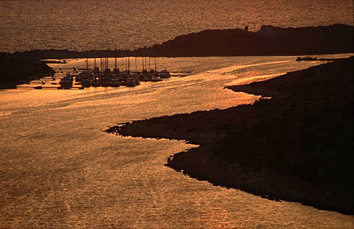
Croatian Islands
Škoji - The Croatian Islands
Sveti Nikola Island
Sveti Nikola Island Info
Sveti Nikola is an unpopulated island with total area of 124281 square meters (m2). The lenght of its coastline is 2105 meters. There is no public transport to Sveti Nikola.| GPS Latitude | 45.22360000 |
|---|---|
| GPS Longitude | 13.58541000 |
| Area(M2) | 124281 |
| Coastline Lenght(M) | 2105 |
Sveti Nikola GPS coordinates
GPS location coordinates: 45°13'25.0"N 13°35'7.5"ESveti Nikola Video
Some Lighthouses in vicinity of Sveti Nikola:
- Zub Lighthouse in Porec, Istria at a distance of 5.21 miles.
- Sveti Ivan na Pucini Lighthouse in Istria at a distance of 12.55 miles.
- Savudrija Lighthouse in Savudrija, Istria at a distance of 18.95 miles.
- Peneda Lighthouse in Istria at a distance of 24.57 miles.
- Verudica Lighthouse in Pula, istria at a distance of 29.56 miles.
- Crna Punta Lighthouse in Koromacno at a distance of 32.93 miles.
- Prestenice Lighthouse in Cres Island at a distance of 34.22 miles.
Marinas in vicinity of Sveti Nikola:
- Marina Porec at a distance of 0.47 miles.
- Marina Parentium at a distance of 1.43 miles.
- Marina Funtana at a distance of 3.28 miles.
- Marina Cervar Porat at a distance of 3.66 miles.
- Marina Vrsar at a distance of 5.22 miles.
Neighbouring islands to Sveti Nikola:
- Frzital Island at 2.45 miles away.
- Veliki Skolj (Istria) Island at 3.32 miles away.
- Reverol Island at 3.52 miles away.
- Sveti Juraj Island at 5.24 miles away.
- Lunga (Vrsar, Istria) Island at 5.61 miles away.
- Kuvrsada Island at 6.31 miles away.
- Figarola Island at 9.17 miles away.
- Sveta Katarina (Rovinj) Island at 10.41 miles away.
- Banjol Island at 10.50 miles away.
- Sveti Andrija (Rovinj) Island at 11.61 miles away.
Nearest Campsites to Sveti Nikola:
- Materada Campsite is at distance of 1.67 miles
- Zelena Laguna Campsite is at distance of 1.91 miles
- Ulika (Naturist centre) Campsite is at distance of 2.29 miles
- Bijela Uvala Campsite is at distance of 2.29 miles
- Puntica Campsite is at distance of 3.31 miles
Sveti Nikola Nearby Hotels:
- Fortuna Island Hotel in Porec at a distance of 0.07 miles
- Grand Hotel Palazzo in Porec at a distance of 0.35 miles
- Jadran Residence in Porec at a distance of 0.36 miles
- Valamar Riviera Hotel & Residence in Porec at a distance of 0.42 miles
- Hotel Mauro in Porec at a distance of 0.44 miles
- Mobile Homes Banko Bijela Uvala in Poreč at a distance of 0.52 miles
