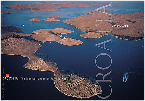
Croatian Islands
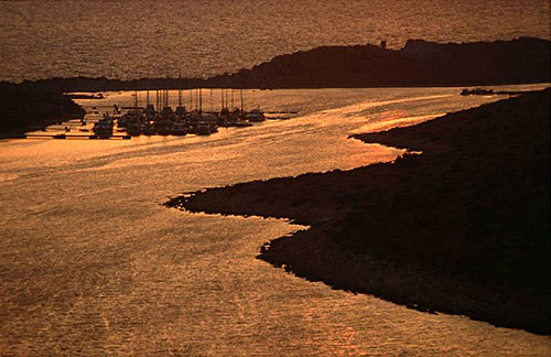
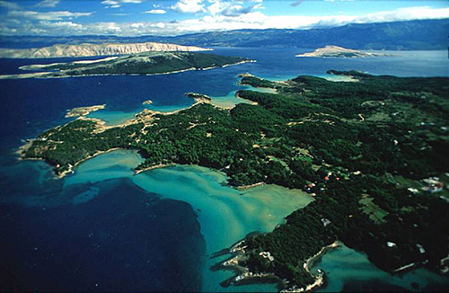
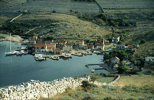
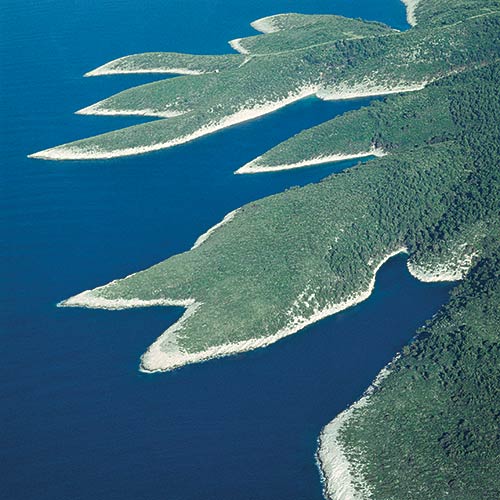
Škoji - The Croatian Islands
Prestenice Lighthouse Croatia
Prestenice Lighthouse Info
Prestenice Lighthouse is situated in Cres Island. It was built in 1872 by Austro Hungarian Empire. The height of the lighthouse tower is 13.0 meters (43.0 feet). The focal height is 17.0 meters (56.0 feet). The nominal range of the main light is 10.0 nautical miles (19.0 kilometers).Prestenice Lighthouse GPS coordinates
GPS location coordinates: 45°7'12.6"N 14°16'22.4"EOther lighthouses in vicinity of Prestenice Lighthouse:
- Crna Punta Lighthouse in Koromacno is 12.86 miles away.
- Zaglav Lighthouse in Cres Island is 13.76 miles away.
- Mlaka Lighthouse in Rijeka is 16.39 miles away.
- Voscica Lighthouse in Unije Island is 17.51 miles away.
- Ostro Kraljevica Lighthouse in Kraljevica is 17.52 miles away.
Marinas in vicinity of Prestenice Lighthouse:
- ACI Marina Cres in Kvarner at a distance of 12.89 miles.
- ACI Marina Opatija in Kvarner at a distance of 13.43 miles.
- Marina Admiral in Kvarner at a distance of 14.38 miles.
- Marina Punat in Kvarner at a distance of 18.46 miles.
- ACI Marina Pula in Istria at a distance of 27.00 miles.
Neighbouring islands to Prestenice Lighthouse:
- Plavnik Island at 15.92 miles away.
- Mali Plavnik Island at 16.49 miles away.
- Sveti Marko Island at 16.72 miles away.
- Krk Island at 17.05 miles away.
- Kosljun Island at 18.11 miles away.
- Kormat Island at 18.89 miles away.
- Galun Island at 23.32 miles away.
- Cres Island at 23.77 miles away.
- Visoki Island at 23.90 miles away.
- Zeca Island at 23.92 miles away.
Nearest Campsites to Prestenice Lighthouse:
- Brajdi Campsite is at distance of 4.18 miles
- Oliva Campsite is at distance of 6.77 miles
- Marina Campsite is at distance of 8.20 miles
- Autocamp Draga Campsite is at distance of 8.33 miles
- Glavotok Campsite is at distance of 8.38 miles
Prestenice Lighthouse Nearby Hotels:
- Hotel Flanona in Plomin at a distance of 3.35 miles
- Pansion Tramontana in Beli (island cres) at a distance of 4.11 miles
- Villa Galovic in Brsec at a distance of 4.42 miles
- Villa Brumnic in Brsec at a distance of 4.45 miles
- Sunrise Girandella Villas in Rabac at a distance of 4.82 miles
- Valamar Bellevue Hotel & Residence in Rabac at a distance of 5.72 miles
