Croatian Islands
Škoji - The Croatian Islands
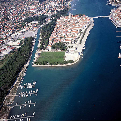
Korcula Island
Korcula island Info
The population on the island is 16182 inhabitants with total area on the island 271466109 square meters. The population density is 58.6 inhabitants per square kilometer. The hightest peak on the island is Kom, 508 meters. The island is accessible by public transport (ferries).More information:
| GPS Latitude | 42.94861000 |
|---|---|
| GPS Longitude | 16.91806000 |
| Population | 16182 |
| Area(M2) | 271466109 |
| Coastline Lenght(M) | 190735 |
| Highest peak | Kom, 508 |
| Population density | 58.6 |
Korcula GPS coordinates
GPS location coordinates: 42°56'55.0"N 16°55'5.0"ESome Lighthouses in vicinity of Korcula:
- Plocica Lighthouse in Islet Plocica near Korcula at a distance of 7.64 miles.
- Sestrica vela (Korcula) Lighthouse in Islet Vela Sestrica near Korcula at a distance of 14.67 miles.
- Struga Lighthouse in Skrivena Luka, Lastovo Island at a distance of 15.59 miles.
- Glavat Lighthouse in Islet Glavat near Lastovo at a distance of 17.10 miles.
- Sucuraj Lighthouse in Sućuraj, Hvar Island at a distance of 18.59 miles.
- Sveti Petar Lighthouse in Makarska at a distance of 24.34 miles.
- Susac Lighthouse in Susac Islet near Lastovo at a distance of 25.64 miles.
Marinas in vicinity of Korcula:
- ACI Marina Korcula at a distance of 11.07 miles.
- Marina Solitudo (Lastovo) at a distance of 13.65 miles.
- ACI Marina Vrboska (Hvar) at a distance of 20.09 miles.
- Marina Ramova ( Baska Voda) at a distance of 26.11 miles.
- Marina Baska Voda at a distance of 28.29 miles.
Neighbouring islands to Korcula:
- Blaca Island at 2.88 miles away.
- Naplovci Island at 4.83 miles away.
- Otocac Island at 5.40 miles away.
- Vrhovnjak Island at 6.23 miles away.
- Sridnjak Island at 6.75 miles away.
- Mala Kneza Island at 6.85 miles away.
- Vela Kneza Island at 7.20 miles away.
- Crklica Island at 7.24 miles away.
- Cerin Island at 7.28 miles away.
- Stupa Island at 7.54 miles away.
Nearest Campsites to Korcula:
- Lupis Campsite is at distance of 7.86 miles
- Palma Campsite is at distance of 9.62 miles
- Palme Campsite is at distance of 10.83 miles
- Kalac Campsite is at distance of 11.30 miles
- Potirna Campsite is at distance of 11.72 miles
Korcula Nearby Hotels:
- Apartments Marijana in Zavalatica at a distance of 2.59 miles
- Apartments Laus in Cara, otok Korcula at a distance of 2.75 miles
- Apartments Brna in Brna at a distance of 4.07 miles
- Bleus Apartments in Smokvica at a distance of 4.20 miles
- Apartments Boris in Smokvica at a distance of 4.23 miles
- Hotel Feral - All Inclusive Light in Smokvica (Korcula Island) at a distance of 4.35 miles
