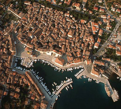
Croatian Islands
Škoji - The Croatian Islands
Kosljun Island
Kosljun Island Info
Kosljun is an unpopulated island with total area of 72426 square meters (m2). The lenght of its coastline is 1083 meters. There is no public transport to Kosljun.| GPS Latitude | 45.02583000 |
|---|---|
| GPS Longitude | 14.61944000 |
| Area(M2) | 72426 |
| Coastline Lenght(M) | 1083 |
Kosljun GPS coordinates
GPS location coordinates: 45°1'33.0"N 14°37'10.0"ESome Lighthouses in vicinity of Kosljun:
- Strazica Lighthouse in Prvic Island at a distance of 9.68 miles.
- Voscica Lighthouse in Unije Island at a distance of 14.77 miles.
- Ostro Kraljevica Lighthouse in Kraljevica at a distance of 17.31 miles.
- Zaglav Lighthouse in Cres Island at a distance of 17.71 miles.
- Prestenice Lighthouse in Cres Island at a distance of 18.11 miles.
- Mlaka Lighthouse in Rijeka at a distance of 23.36 miles.
- Crna Punta Lighthouse in Koromacno at a distance of 23.62 miles.
Marinas in vicinity of Kosljun:
- Marina Punat at a distance of 0.51 miles.
- ACI Marina Cres at a distance of 11.31 miles.
- ACI Marina Supetarska Draga at a distance of 16.18 miles.
- ACI Marina Rab at a distance of 19.83 miles.
- ACI Marina Opatija at a distance of 25.61 miles.
Neighbouring islands to Kosljun:
- Krk Island at 3.42 miles away.
- Mali Plavnik Island at 4.48 miles away.
- Plavnik Island at 5.81 miles away.
- Kormat Island at 5.84 miles away.
- Galun Island at 6.51 miles away.
- Zecevo (Krk) Island at 10.70 miles away.
- San Marino Island at 10.91 miles away.
- Prvic (Kvarner) Island at 12.10 miles away.
- Sveti Grgur Island at 13.14 miles away.
- Maman Island at 15.16 miles away.
Nearest Campsites to Kosljun:
- Pila Campsite is at distance of 0.82 miles
- Politin Campsite is at distance of 1.42 miles
- Konobe Campsite is at distance of 2.54 miles
- Jezevac Campsite is at distance of 2.62 miles
- Bor Campsite is at distance of 2.82 miles
Kosljun Nearby Hotels:
- Apartments Monika in Punat at a distance of 0.55 miles
- Hotel Park Punat in Punat at a distance of 0.58 miles
- Hotel Kanajt in Punat at a distance of 0.75 miles
- Hotel Omorika in Punat at a distance of 0.77 miles
- Villa Sunce in Punat at a distance of 0.88 miles
- Apartments Jurina in Krk at a distance of 1.59 miles
