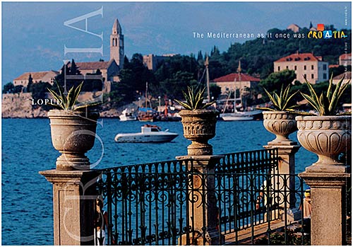
Croatian Islands
Škoji - The Croatian Islands
Sveti Grgur Island
Sveti Grgur Island Info
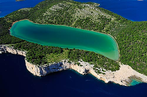
Sveti Grgur is an unpopulated island with total area of 6376875 square meters (m2). The lenght of its coastline is 14528 meters. There is no public transport to Sveti Grgur.Grgur is situated between Rab, Krk, Prvić and Goli Otok, and it can be reached by boat from the south-west side of Krk and mooring in the cove of Sveti Grgur, on the north-west side of the island. The island is full of greenery, beautiful coves and beaches and on it the landscape alternates from that of stone to that of forests. There was once a women’s prison here and its remains can still be seen today.
| GPS Latitude | 44.86667000 |
|---|---|
| GPS Longitude | 14.76667000 |
| Area(M2) | 6376875 |
| Coastline Lenght(M) | 14528 |
Sveti Grgur GPS coordinates
GPS location coordinates: 44°52'0.0"N 14°46'0.0"ESome Lighthouses in vicinity of Sveti Grgur:
- Strazica Lighthouse in Prvic Island at a distance of 4.59 miles.
- Trstenik Lighthouse in Trstenik Islet near Cres at a distance of 16.50 miles.
- Zaglav Lighthouse in Cres Island at a distance of 23.69 miles.
- Voscica Lighthouse in Unije Island at a distance of 27.09 miles.
- Prestenice Lighthouse in Cres Island at a distance of 29.79 miles.
- Ostro Kraljevica Lighthouse in Kraljevica at a distance of 29.81 miles.
- Crna Punta Lighthouse in Koromacno at a distance of 31.00 miles.
Marinas in vicinity of Sveti Grgur:
- ACI Marina Supetarska Draga at a distance of 4.79 miles.
- ACI Marina Rab at a distance of 7.57 miles.
- Marina Punat at a distance of 13.08 miles.
- ACI Marina Cres at a distance of 18.69 miles.
- Y/C Marina Mali Losinj at a distance of 26.86 miles.
Neighbouring islands to Sveti Grgur:
- Goli Otok Island at 3.19 miles away.
- Prvic (Kvarner) Island at 3.59 miles away.
- Maman Island at 5.13 miles away.
- Galun Island at 6.72 miles away.
- Rab Island at 6.72 miles away.
- Lisac Island at 8.66 miles away.
- Zecevo (Krk) Island at 9.55 miles away.
- Mag Island at 10.43 miles away.
- Kormat Island at 10.98 miles away.
- Dolin Island at 11.25 miles away.
Nearest Campsites to Sveti Grgur:
- San Marino Campsite is at distance of 3.29 miles
- Zablace Campsite is at distance of 6.89 miles
- Mali Campsite is at distance of 6.91 miles
- Bunculuka Campsite is at distance of 7.04 miles
- Padova III Campsite is at distance of 7.89 miles
Sveti Grgur Nearby Hotels:
- Pansion Dragica in Lopar at a distance of 2.95 miles
- Tourist Settlement San Marino in Rab at a distance of 2.99 miles
- Apartments Melita in Rab at a distance of 5.31 miles
- Hotel Eva in Rab at a distance of 6.43 miles
- Villa Limun in Baska at a distance of 6.62 miles
- Villa Naranda in Baska at a distance of 6.63 miles
