Croatian Islands
Škoji - The Croatian Islands
Susak Island
Susak island Info
The population on the island is 188 inhabitants with total area on the island 3771587 square meters. The population density is 49.5 inhabitants per square kilometer. The hightest peak on the island is 98 meters. The island is accessible by public transport (ferries).More information:
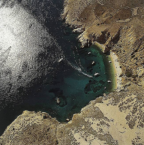
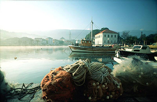
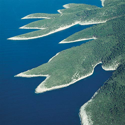
Susak is the only completely sandy island in the Adriatic, which due to being relatively isolated has maintained the spirit and charm of olden times. The island’s unique language and fantastic, colourful folk costumes are part of Susak’s tradition for which it is widely known. You can tie up your boat in the little harbour, and then walk around the entire island and visit the old lighthouse and village where it is worth tasting the local wines, Trojšćina and Pleskunac.
| GPS Latitude | 44.51472000 |
|---|---|
| GPS Longitude | 14.29472000 |
| Population | 188 |
| Area(M2) | 3771587 |
| Coastline Lenght(M) | 12921 |
| Highest peak | 98 |
| Population density | 49.5 |
Susak GPS coordinates
GPS location coordinates: 44°30'53.0"N 14°17'41.0"ESome Lighthouses in vicinity of Susak:
- Susak Lighthouse in Susak Island at a distance of 0.35 miles.
- Vnetak Lighthouse in Cres Island at a distance of 7.79 miles.
- Grujica Lighthouse in Islet Grujica near Losinj at a distance of 15.34 miles.
- Trstenik Lighthouse in Trstenik Islet near Cres at a distance of 17.53 miles.
- Marlera Lighthouse in Medulin at a distance of 24.58 miles.
- Porer Lighthouse in Istria at a distance of 26.00 miles.
- Zaglav Lighthouse in Cres Island at a distance of 28.06 miles.
Marinas in vicinity of Susak:
- Marina Losinj at a distance of 8.19 miles.
- Y/C Marina Mali Losinj at a distance of 8.40 miles.
- ACI Marina Rab at a distance of 28.43 miles.
- ACI Marina Pomer at a distance of 28.65 miles.
- ACI Marina Supetarska Draga at a distance of 29.07 miles.
Neighbouring islands to Susak:
- Srakane Male Island at 3.87 miles away.
- Srakane Vele Island at 4.73 miles away.
- Murtar Island at 6.85 miles away.
- Losinj Island at 7.04 miles away.
- Koludarac Island at 7.21 miles away.
- Veli Osir Island at 8.08 miles away.
- Unije Island at 9.94 miles away.
- Kozjak Island at 12.46 miles away.
- Vele Orjule Island at 12.85 miles away.
- Sveti Petar Island at 13.15 miles away.
Nearest Campsites to Susak:
- Cikat Campsite is at distance of 7.78 miles
- Poljana Campsite is at distance of 7.79 miles
- Rapoca Campsite is at distance of 11.45 miles
- Lopari Campsite is at distance of 12.54 miles
- Baldarin Campsite is at distance of 12.66 miles
Susak Nearby Hotels:
- Pansion Ana in Mali Losinj at a distance of 7.02 miles
- Apartments Marija in Mali Lošinj at a distance of 7.02 miles
- Poljana Camping Village Resort in Mali Losinj at a distance of 7.82 miles
- Guest House Helios in Mali Losinj at a distance of 7.87 miles
- Hotel Bellevue in Mali Losinj (Kvarner) at a distance of 7.99 miles
- Family Hotel Vespera in Mali Losinj at a distance of 8.12 miles
